Morefield mine
 Morefield mine, or "Mm" QuickLinks
🆕@Mm
About this site
Bibliography
Elements@Mm
Friends of Mm
History/Timeline
Interviews
Glossary
Maps
Minerals@Mm
Mining@Mm
Mm @Museums
Mysteries
Pegmatites
Stories
Videos
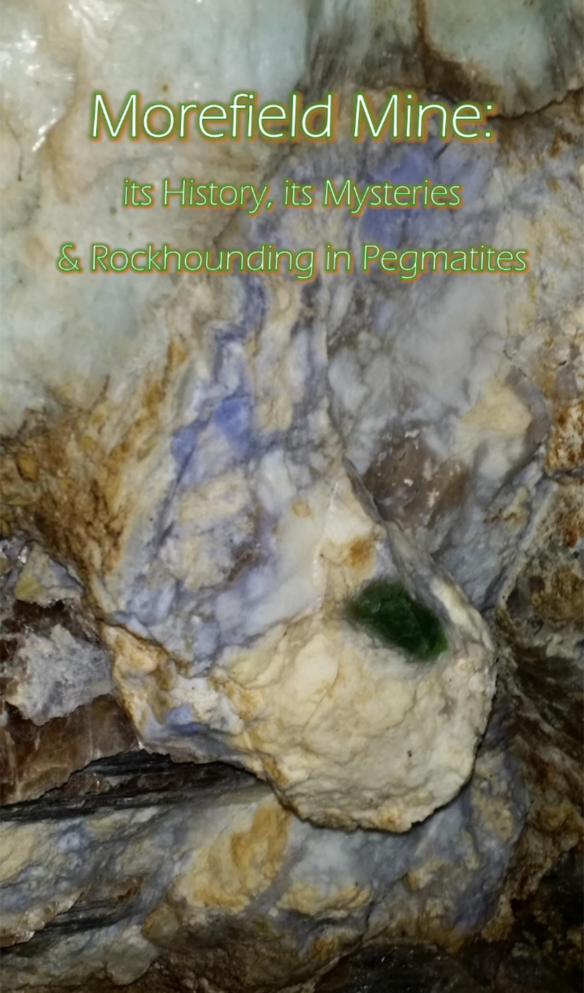
Photo credit: Karen Smith-Will, 2018
©️2021 Valutivity LLC. All rights reserved.
- Details
- Written by: Karen Smith-Will
- Parent Category: Research
- Category: Morefield mine
The sketch, presumably by Sam Dunaway, notate locations of biotite, gneiss, quartz, green amphibole, pyroxines, garnet, pyrite, pink (salmon) feldspar, light green feldspar, schist, etc.
- Details
- Written by: Karen Smith-Will
- Parent Category: Research
- Category: Morefield mine
Presumably, this map is demonstrating a diagonal core sample that was taken 510' SW of the shaft, to assess the breadth of the pegmatite.
Read more: Map, no date, Section at 510 ft Southwest of shaft
- Details
- Written by: Karen Smith-Will
- Parent Category: Research
- Category: Morefield mine
It is crazy to think that Morefield mine has a section that goes down 13 stories, to 130'!
- Details
- Written by: Karen Smith-Will
- Parent Category: Research
- Category: Morefield mine
This aerial map is a plan of the diamond drill core holes needed to properly assess the 100' level of Morefield mine.
- Details
- Written by: Karen Smith-Will
- Parent Category: Research
- Category: Morefield mine
This map was created around the same time Tour locations by cross sections was created. 50' is a production area, not a tour area.
- Details
- Written by: Karen Smith-Will
- Parent Category: Research
- Category: Morefield mine
While one is down in Morefield mine, it can seem more or less like a maze. A map like this gives one an idea of how everything is placed. Also, you can see that there is a production area that is not shown during tours.
- Details
- Written by: Karen Smith-Will
- Parent Category: Research
- Category: Morefield mine
This is a "(p)lat of survey, showing a portion of the property belonging to Deck R. Boyle's, located in Giles Magisterial District, Amelia County, VA."
- Details
- Written by: Karen Smith-Will
- Parent Category: Research
- Category: Morefield mine
This map shows a subset of the Morefield property, not including all of the land that is leased to Martin-Marietta. That lease was undertaken by Bill Baltzley, it has been in progress since before Sam and Sharon Dunaway purchased the property, through today and beyond.
- Details
- Written by: Karen Smith-Will
- Parent Category: Research
- Category: Morefield mine
🗺️ While reading various stories about Morefield mine and its owners, you may find it helpful to understand where things are in proximity to the mine.
Read more: Map, 2017 Notable places to Morefield mine & its owners
- Details
- Written by: Karen Smith-Will
- Parent Category: Research
- Category: Morefield mine
Seeing an aerial map allows you the chance to see the divided road into the mine, all of its buildings, and even the pond.
- Details
- Written by: Karen Smith-Will
- Parent Category: Research
- Category: Morefield mine
Diamond core drill cross sections locations are documented, on the 100 ft level of Morefield mine.