 1962 Sketch of NE Wall, Main Pit
No date, Core drill cross section locations
No date, 100' core drilling plan
Map, no date, vertical cross sections 100' level
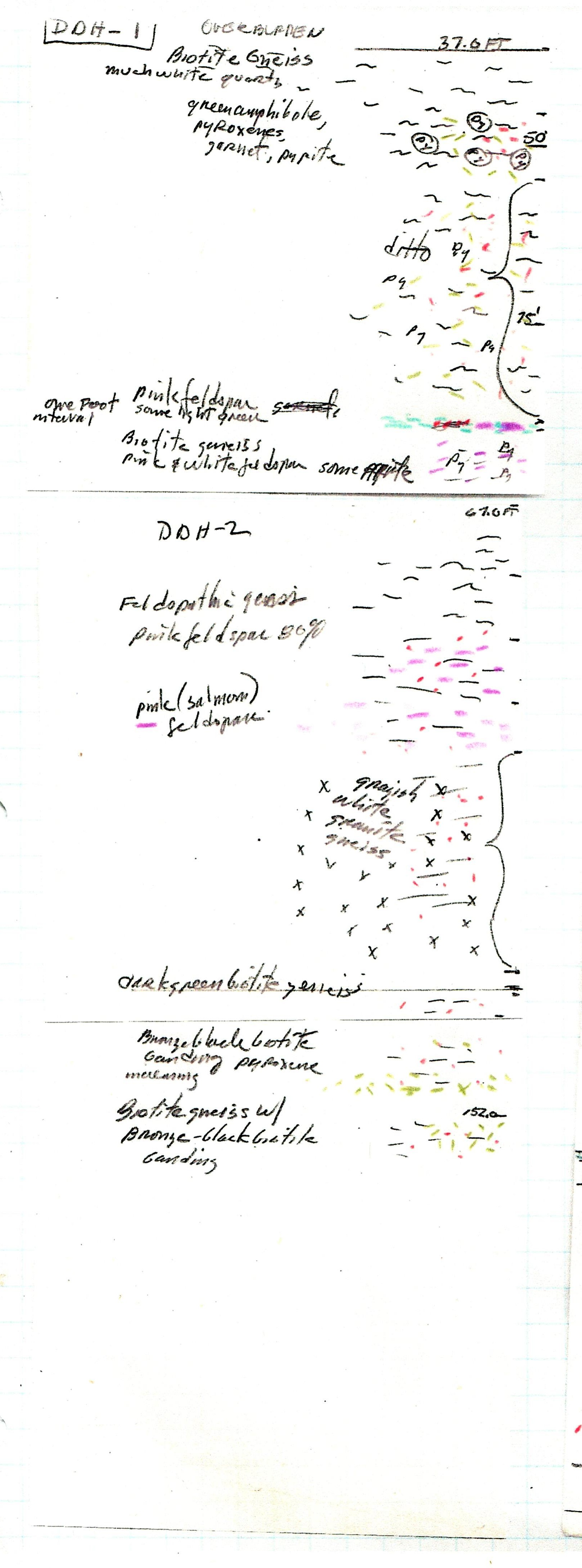
No date, Sketch mineral zones from 37' to 67'
1997, 100' with color and annotations
2013 subset of Morefield property
No date, Tour locations by cross sections
No date, 50' NE of shaft
 2017 Google Earth aerial map of Morefield mine
2017 Notable places to Morefield mine & its owners
Special thanks to Sam & Sharon Dunaway and to Betsy Martin, for access to these maps. Used with permission.
©️2021 to present ![]() Valutivity Press. All rights reserved.
Valutivity Press. All rights reserved.